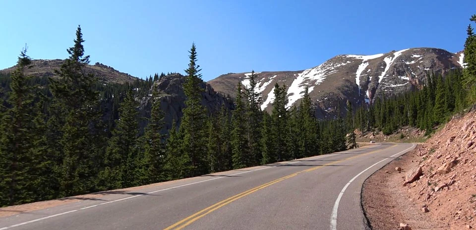
Pikes Peak
Distance: 29.42 km
Elevation Gain: 1976 m
Elevation Loss: 51 m
Difficulty:
1773 (Extreme)
FIETS Index: 13.68 FIETS
Avg Grade: 6.58 %
Max cat climb: HC
Min elevation: 2374 m
Max elevation: 4300 m
Ride Category:
Epic Climb
The Pikes Peak Highway is a toll road from Cascade, Colorado, USA, to the 4,302 m summit of Pikes Peak. The Cascade Town Company opened a carriage road up the mountain in 1888. In 1915 Spencer Penrose built the present highway, and his motor race, the Pikes Peak International Hill Climb, has been held on it since 1916. Cyclists race up the same course in their own hill climb, first held in 2010. In 2016 it hosted the first USA Cycling hill-climb national championship, and in 2025 John Keller won in a record 1:07:54.
This ride starts at the highway gateway in Cascade and climbs through the forest past Crystal Reservoir. At the mile 7 marker the race course begins, and from there the road winds through 156 turns, past Glen Cove, the switchbacks known as the W’s, and the Devil’s Playground. At the summit the Summit House makes up to 700 doughnuts an hour to its own high-altitude recipe; carried down to lower ground, they go flat.