Wind River Pass
Distance: 26.77 km
Elevation Gain: 598 m
Elevation Loss: 420 m
Difficulty:
412 (Moderate)
FIETS Index: 2.05 FIETS
Avg Grade: 4.50 %
Max cat climb: 2
Min elevation: 2324 m
Max elevation: 2780 m
Ride Category:
Hilly
Ride Wind River Pass on your smart trainer
Real video of real roads, synced to your smart trainer: the resistance follows the road.
14 days free, no credit card.
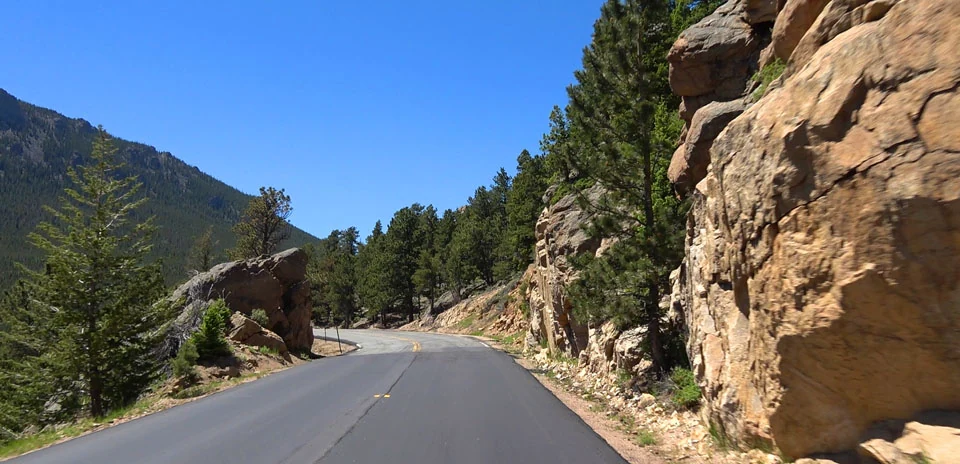
Colorado State Highway 7 runs south from Estes Park, Colorado, USA, along the eastern edge of Rocky Mountain National Park. This is the start of the Peak to Peak Highway, built in 1918 as Colorado’s first scenic highway, and Wind River Pass, 9,150 ft, is its first summit. Estes Park’s tourist office lists the ride to Allenspark among its five best cycling routes, with the pass as the top of the first climb.
The ride climbs past Marys Lake and Lily Lake, which sits on a divide between two creeks, to the pass, the ride’s highest point. This is the nearest road to the trailhead for Longs Peak, the park’s only fourteener, first climbed in 1868. From the pass the ride descends past the Chapel on the Rock, completed in 1936 on a rock where a priest had imagined a church in 1916; Pope John Paul II prayed there in 1993. The ride ends just beyond Allenspark, named after Alonzo Allen, who came west in the 1859 gold rush.