Sugarloaf

Boulder, Colorado, USA
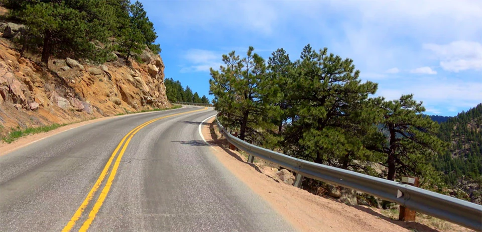
 Sugarloaf
Distance: 7.72 km
Elevation Gain: 602 m
Elevation Loss: 0 m
Difficulty:
570 (Moderate)
FIETS Index: 4.73 FIETS
Avg Grade: 7.86 %
Max cat climb: 2
Min elevation: 1849 m
Max elevation: 2451 m
Ride Category:
Epic Climb
Ride Sugarloaf on your smart trainer
Real video of real roads, synced to your smart trainer: the resistance follows the road.
14 days free, no credit card.
Sugarloaf Road climbs out of Boulder Canyon to Sugarloaf, a mountain community halfway between Boulder and Nederland, in Colorado, USA. The name goes back to an 1868 mining claim, “Sugar Loaf, near Yellow Pine”. Until 1919 the Switzerland Trail, a narrow-gauge railway that carried tourists up from Boulder and Denver, ran through Sugar Loaf on its way to Ward. Its old roadbed is now a hiking and biking route.
The ride is one climb, from Boulder Canyon Drive up Sugarloaf Road past the Tall Timber and Mountain Meadows neighbourhoods to Sugarloaf. It ends just below Sugarloaf Mountain, with the old railway grade further on.
| Rank | Rider | Date | Time | Power | W/kg | Speed |
|---|---|---|---|---|---|---|
| 🥇 | SmP | Oct 16, 2018 | 00:25:54 | 291 W | 5.02 w/kg | 17.89 km/h |
| 🥈 | Patrick Smit | Feb 05, 2022 | 00:26:18 | 301 W | 4.93 w/kg | 17.58 km/h |
| 🥉 | Tom Smeets | Feb 27, 2018 | 00:26:53 | 345 W | 4.66 w/kg | 17.24 km/h |
| 4 | Alan Gunner | Sep 14, 2018 | 00:27:08 | 327 W | 4.56 w/kg | 17.08 km/h |
| 5 | Tristan Kramers | Dec 03, 2019 | 00:27:30 | 332 W | 4.55 w/kg | 16.85 km/h |
| 6 | Ilja Booij | Aug 18, 2017 | 00:28:17 | 318 W | 4.39 w/kg | 16.39 km/h |
| 7 | Silvano Turati | Nov 16, 2018 | 00:28:26 | 270 W | 4.50 w/kg | 16.30 km/h |
| 8 | Patrick BERNARD | May 17, 2022 | 00:29:19 | 345 W | 4.16 w/kg | 15.77 km/h |
| 9 | Christopher Epo | Jul 16, 2017 | 00:30:06 | 342 W | 3.98 w/kg | 15.40 km/h |
| 10 | Tom Thurston-Mathews | Nov 13, 2017 | 00:30:18 | 276 W | 4.12 w/kg | 15.30 km/h |
Users who liked this also liked
| Ride Name | Dist (km) | Elev (m) | Diff | Pop | Rating |
|---|---|---|---|---|---|
| James Canyon | 11.22 | 674 | 4.05 | 187 | 4.35 |
| Magnolia | 7.31 | 666 | 6.02 | 297 | 4.53 |
| Flagstaff (Super Flag) | 9.04 | 665 | 4.89 | 283 | 4.44 |
| Ax 3 Domaines | 8.63 | 662 | 5.08 | 431 | 4.39 |
| Kaiser-Franz-Josefs-Höhe | 7.93 | 495 | 3.43 | 320 | 4.51 |