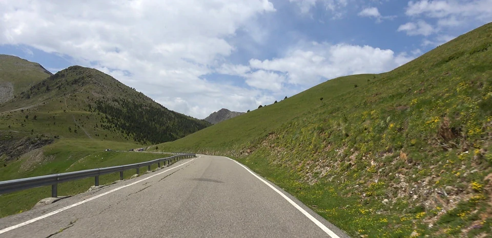
Port de Cabus
Distance: 20.08 km
Elevation Gain: 941 m
Elevation Loss: 188 m
Difficulty:
733 (Hard)
FIETS Index: 5.69 FIETS
Avg Grade: 6.06 %
Max cat climb: HC
Min elevation: 1363 m
Max elevation: 2302 m
Ride Category:
Climb
Ride Port de Cabus on your smart trainer
Real video of real roads, synced to your smart trainer: the resistance follows the road.
14 days free, no credit card.
The Port de Cabús, 2,302 m, on the border between Andorra and Spain above La Massana, is Andorra’s second-highest pass, and only its Andorran side is paved. The track beyond, towards Tor in Spain, was once used by tobacco smugglers. On the way up, the CG-4 passes the Coll de la Botella, used as a summit finish: in June 2026 Tom Pidcock won the Andorra MoraBanc Clàssica there, countering a late attack in the uphill sprint.
The ride starts at Erts and climbs the CG-4 past Xixerella to Pal, with its 11th-century Romanesque church of Sant Climent. It then goes on to the Coll de la Botella, the base of the Pal ski area, where the race finished. About 5 km more lead to the Port de Cabús. The ride turns there and comes back down to finish near the Botella.