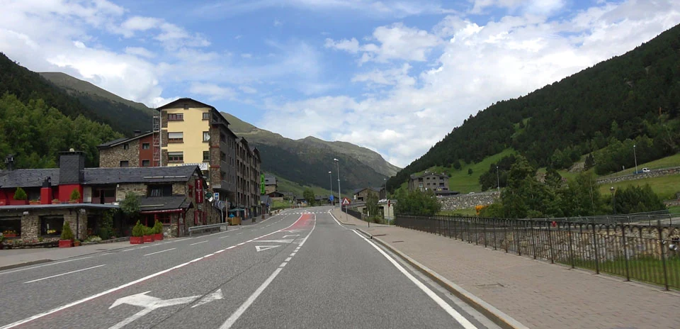
Port d’Envalira (West side)
Distance: 11.94 km
Elevation Gain: 717 m
Elevation Loss: 0 m
Difficulty:
509 (Moderate)
FIETS Index: 4.32 FIETS
Avg Grade: 6.02 %
Max cat climb: 1
Min elevation: 1684 m
Max elevation: 2402 m
Ride Category:
Climb
Ride Port d’Envalira (West side) on your smart trainer
Real video of real roads, synced to your smart trainer: the resistance follows the road.
14 days free, no credit card.
The Port d’Envalira reaches an elevation of 2,408 meters, making it the highest paved mountain pass in the Pyrenees and the highest paved road in Europe that remains open year-round. Located entirely within Andorra near the border with France, the pass connects the high-altitude border town of El Pas de la Casa with the interior of the principality and the capital of Andorra la Vella. Serving as a crucial vehicular artery across the mountain range, the route underwent significant modern infrastructure changes with the construction of the Envalira Tunnel between 1999 and 2002. Situated at an elevation of roughly 2,000 meters, this nearly 3-kilometer toll tunnel diverts major commercial traffic, leaving the upper switchbacks of the pass significantly quieter above the turnoff.
Throughout its history, the pass has played a prominent role in top-tier professional road racing, earning frequent inclusions in both the Tour de France and the Vuelta a España. Due to its exceptional altitude and sheer length—measuring up to 47 kilometers when tackled from its lowest approach near La Seu d’Urgell—it often serves as a decisive high-altitude summit or the highest point (Cima Alberto Fernández or Souvenir Henri Desgrange) of a Grand Tour stage. The ascent challenges riders with over 1,800 meters of elevation gain across long, steady gradients, surrounded by rugged alpine scenery as it climbs toward the crest.