Aurlandsfjellet Roller Coaster
Distance: 8.67 km
Elevation Gain: 197 m
Elevation Loss: 154 m
Difficulty:
159 (Easy)
FIETS Index: 0.54 FIETS
Avg Grade: 6.43 %
Max cat climb: 4
Min elevation: 1230 m
Max elevation: 1314 m
Ride Category:
Hilly
Ride Aurlandsfjellet Roller Coaster on your smart trainer
Real video of real roads, synced to your smart trainer: the resistance follows the road.
14 days free, no credit card.
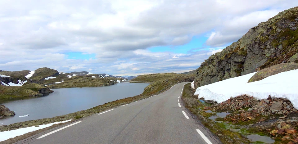
Aurlandsfjellet, the Snow Road, crosses the mountains between Aurland and Lærdal, in Vestland, Norway, and this ride covers its highest stretch, the part that winter buries. Snow lies on the plateau for most of the year, and the road reopens only around the turn of May and June. A telegraph line crossed the mountain in the late 1800s, long before the road was finished in 1967. The road is a national tourist route, and the route’s own description calls it a demanding cycle ride from either fjord.
The ride starts just below the summit on the Aurland side and crosses the road’s highest point by Storgrovatnet. It then runs north-east across the open plateau, past a string of lakes, and finishes beside the lake Flyvotni, still high on the plateau. The whole ride lies on the stretch between the winter gates at Kvammadal and Horndalen, the part of the road that closes in winter.