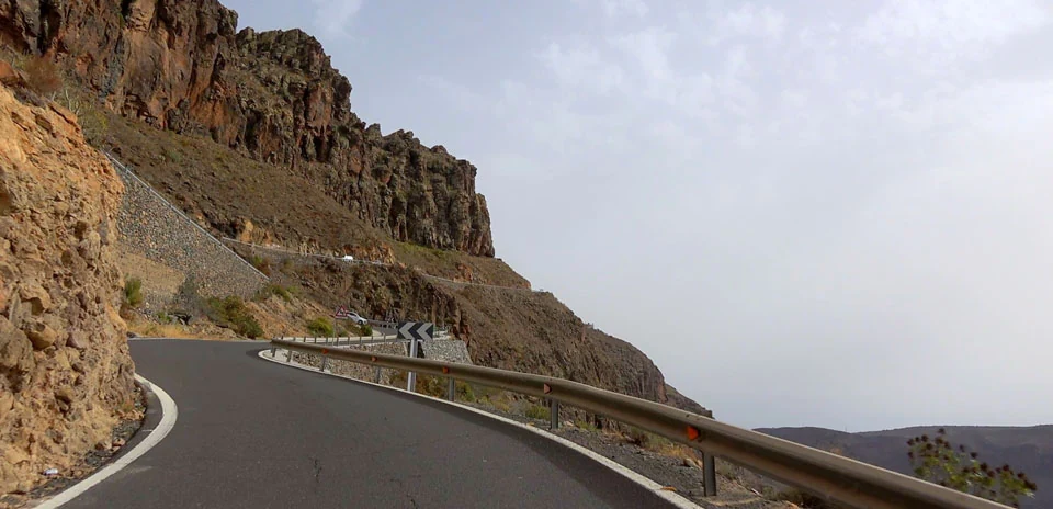
Degollada de La Yegua
Distance: 10.88 km
Elevation Gain: 163 m
Elevation Loss: 442 m
Difficulty:
143 (Easy)
FIETS Index: 1.24 FIETS
Avg Grade: -6.15 %
Max cat climb: 2
Min elevation: 113 m
Max elevation: 473 m
Ride Category:
Hilly
Ride Degollada de La Yegua on your smart trainer
Real video of real roads, synced to your smart trainer: the resistance follows the road.
14 days free, no credit card.
The Degollada de La Yegua is the pass where the GC-60, the road from Maspalomas to San Bartolomé de Tirajana, crosses from the Fataga ravine to the coast in southern Gran Canaria, Spain. On 5 December 2025 a stage of the Gran Canaria Bike Week rode through Tunte and Fataga and ended its last climb here, before dropping to Maspalomas the same way this ride goes.
This ride starts at La Barandilla, low in the Fataga ravine, and heads south on the GC-60 past the necropolis of Arteara, where more than 800 burial mounds were used for about 2,300 years, from the 5th century BC to the 18th century. Two short climbs, the second averaging 6.3%, lead to the pass. From there the road makes its long descent to the northern edge of Maspalomas, where the ride ends.