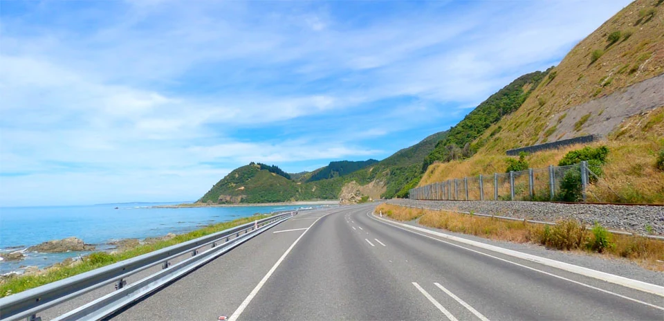
Kaikoura Coast
Distance: 28.18 km
Elevation Gain: 101 m
Elevation Loss: 99 m
Difficulty:
101 (Easy)
FIETS Index: 0.06 FIETS
Avg Grade: 0.97 %
Max cat climb: 5
Min elevation: 14 m
Max elevation: 73 m
Ride Category:
Flat
Ride Kaikoura Coast on your smart trainer
Real video of real roads, synced to your smart trainer: the resistance follows the road.
14 days free, no credit card.
North of Kaikoura, in Canterbury, New Zealand, State Highway 1 runs on a narrow strip between the Pacific and the Seaward Kaikoura Range, which rises straight from the sea. The Main North Line railway runs beside the road. Work on the line was halted by the First World War and the Depression; the northern and southern railheads finally met at Kaikoura, and the line opened on 15 December 1945. The Whale Trail, a cycle trail of about 200 km from Picton to Kaikoura, is being built along this coast and is expected to become one of New Zealand’s Great Rides.
This ride heads south along SH1 past Ohau Point, where New Zealand fur seals can be seen, and on down the coast to Mangamaunu. It turns inland near Hapuku, where the open section of the Whale Trail into Kaikoura begins; the coast stretch north of here is still to be built. The ride follows Kincaid Road through farmland to the northern edge of Kaikoura.