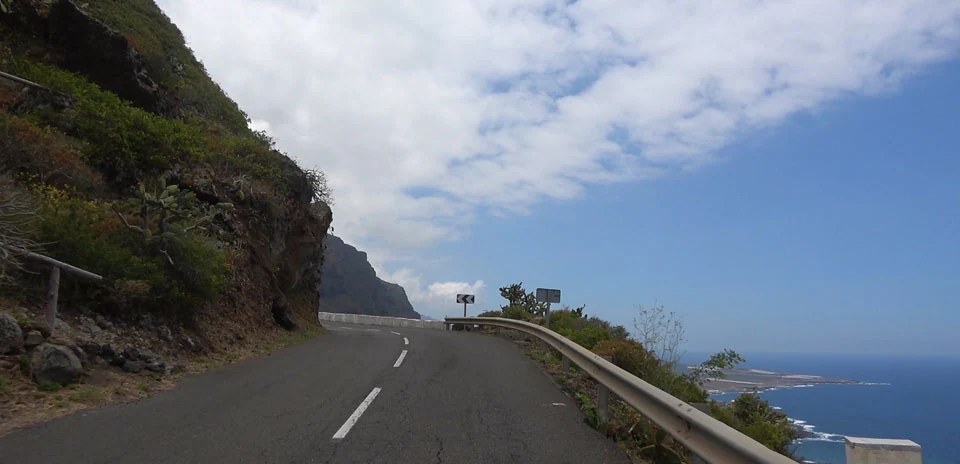
El Tanque
Distance: 8.04 km
Elevation Gain: 571 m
Elevation Loss: 1 m
Difficulty:
578 (Moderate)
FIETS Index: 4.04 FIETS
Avg Grade: 7.10 %
Max cat climb: 2
Min elevation: 29 m
Max elevation: 599 m
Ride Category:
Epic Climb
Ride El Tanque on your smart trainer
Real video of real roads, synced to your smart trainer: the resistance follows the road.
14 days free, no credit card.
The TF-421 climbs from Garachico, on the north-west coast of Tenerife, Spain, to El Tanque: the first 8 km of the Tenerife tourist board’s cycling route over the Erjos pass to Masca. In May 1706 the eruption of Montaña Negra, also called Trevejo, covered much of El Tanque’s land and poured lava into Garachico’s harbour, until then the island’s main port for Malmsey wine.
The ride starts at San Pedro de Daute, west of Garachico, and climbs through Tanque Bajo, past the church of San Antonio de Padua. The village of El Tanque takes its name from a tank or pond built by its first European settlers. It grew up from about 1540 around its first chapel, which the lava of 1706 destroyed. The ride ends at Tanque Alto, on the TF-82, where the road to Erjos carries on uphill.